Lake Superior National Scenic Byway
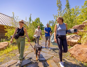
Fresh air, scenic sights and quality time with family are all guarantees on the Lake Superior National Scenic Byway. Only 70 miles long, it may sound like a quick trip, but with plenty of must-see stops along the way, you and your family or friends may spend all day — or a couple — on the road.
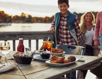
Some of the must-see attractions include the Apostle Islands National Lakeshore, fishing villages, nature preserves and a Native American reservation. Along the byway, also make time for the little things. Stop for a barefoot walk on a sandy beach, a selfie or two for social media and a quick bite to eat at a local hidden gem.
The Lake Superior Scenic Byway is more than a road connecting one place to another. It’s an experience that will make you want to stop every few miles.
A Wild Start
Your road trip begins near the Whittlesey Creek National Wildlife Refuge just south of Barksdale, a town populated by dairy farms and the University of Wisconsin’s Agricultural Experimental Station. Drive the six-mile drive north to Washburn and enjoy the passing views of the Chequamegon Bay shore.
Once you hit Washburn, you’ll want to stop. The city is home to several museums and historical sites, including shipwrecks and the Bayfield County Courthouse that’s on the National Register of Historic Places. Explore further by strolling along the lakeside walking trail with access to three local beaches.
Just outside Washburn up north is the Houghton Falls State Natural Area featuring waterfalls and gorges galore. You can stop and explore or continue on the byway, where you’ll eventually pass through pine and cedar forests before hitting the section where the Onion and Sioux rivers merge into Lake Superior. From here, you can spot Madeline Island, the largest of the Apostle Islands, although not part of the national lakeshore.
The Apostle Islands are off the coast from Bayfield, which is your next major stop along the byway. There, you’ll find rolling hills, fruit farms and orchards, like the Erickson Orchard, open to visitors for cherry, apple and strawberry picking, depending on the season. Other fun attractions include the Bayfield Maritime Museum and shops, like Eckels Pottery & Fine Craft Gallery.
You can choose to keep going along your journey or stay the rest of the day to explore more of the Apostle Islands, including its sea caves and lighthouses. And don’t worry about finding a place to stay. There are plenty of cottages and Victorian inns to choose from in Bayfield.
When it’s time to hop back on the byway, be sure to stop at Red Cliff, home to the Red Cliff Band of Lake Superior Chippewa tribe. Test your luck at one or a few of the slot machines at the Legendary Waters Resort & Casino or hike along the sandy beach or boardwalk at the Frog Bay Tribal National Park. Afterwards, enjoy a spirited glass of whiskey or vodka at the nearby Copper Crow Distillery, the first Native American-owned distillery in the U.S.
Go West
The byway turns west across the peninsula. Once you pass Meyers Beach Road, the view will expand and, if you look out into the distance, you’ll be able to see the hills of neighboring Minnesota.
Stop at Meyer’s Beach for a nice picnic and swim, depending on the season you’re visiting. A couple of miles off the beach is the Bayfield Peninsula sea caves, which you can kayak to or reach by hiking from Meyer’s. When it’s time to hop back in the car, drive a little further until you spot the Green Shed Museum, which details more than a century’s worth of Wisconsin history, residing in the village of Cornucopia.
Past Cornucopia is Herbster, home to the Bark Bay Slough State Natural Area, just one of the many spots along the byway for kayaking and canoeing. After Herbster, you’ll find yourselves in a fishing village called Port Wing, which features two miles of beaches and some of the best sunsets in the region.
Home Stretch
As we begin the last leg of the byway, you’ll want to stop just outside Port Wing and hike to the Orienta Falls for picture-worthy sights.
The final stretch of byway runs along the Brule River State Forest, a popular attraction for trout fishing, hiking and camping. The byway passes through the rural town of Cloverland and ends at the County Road H junction just before crossing the river.
Whether your trip along the byway takes five hours or a couple of days to complete, it’ll no doubt become a huge part of your epic family vacation or getaway with friends.
Explore the Area

Average Weather
From soaking up the summer sun to hitting the trails after a fresh snowfall, Wisconsin has no shortage of activities for every season. Here's an idea of what the weather in this area is like to help get your planning started!
Summer
| High | 79° F |
| Low | 56° F |
Winter
| High | 24° F |
| Low | 4° F |
Fall
| High | 56° F |
| Low | 35° F |
Spring
| High | 54° F |
| Low | 31° F |


